About ASIC
Since 2006, we have grown from a Kenyan consultancy to a regional leader in spatial information and built environment solutions.
Systems Engineering & Spatial Innovation Since 2006
Africa Spatial Information Centre (ASIC) is a lead consultant specializing in Geo-Information management and systems engineering. While our roots are registered in Kenya, our operations are "open to AFRICA" and beyond. Since our inception in November 2006, we have moved beyond traditional surveying to offer competitive Spatial Development solutions using modern Geographical Information Systems (GIS) and Global Navigation Satellite Systems (GNSS).
We pioneered the AS-SET Registry, Kenya's first secure repository serving as a reliable backup to the Government Land Registry, specifically designed to secure informal land transactions.
From our Nairobi HQ at Taj Tower, we partner with firms in UAE and China to ensure our technical capacity matches global standards using modern GIS and GNSS technology.
Beyond Measurement: A Multidisciplinary Consultancy
We combine technical precision with legal and social expertise to solve complex land challenges that standard surveyors cannot handle.
Conflict Resolution & Mediation
Land issues are often people issues. Our Social Scientist specializes in alternative dispute resolution for boundary conflicts, ensuring technical data is not just accurate, but understood and accepted by local stakeholders.
Maritime & Hydrographic Services
Unlike typical land surveyors, ASIC maps waters. Our Hydrographer performs bathymetry and sonar soundings supporting maritime safety and Blue Economy initiatives.
Legal Compliance & Systems Architecture
We close the gap between mapping and title registration. Our Legal Expert ensures datasets meet Government Land Registry standards while GIS Architects designed the As-Set Registry—a unique secure backup system for safeguarding informal land transactions.
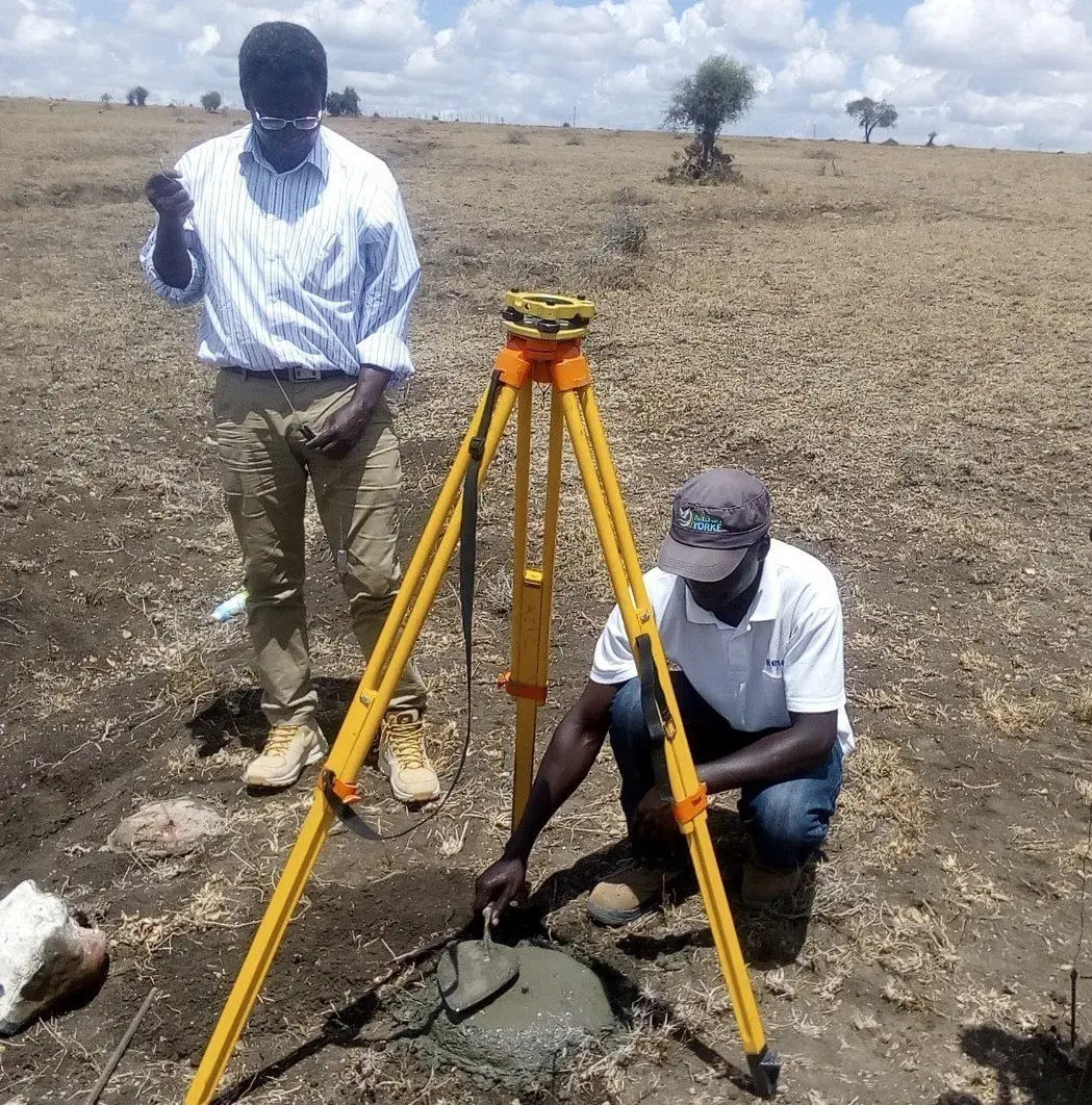
Core Geomatic Engineering
6+ Senior Surveyors and Licensed Consultants deploy CHCNAV i80 and Sokkia technology for massive infrastructure projects like REA route surveys across multiple counties.
A Multidisciplinary Team with National Reach
Licensed surveyors, GIS experts, legal specialists, architects, and operations professionals working across Kenya.
Core leadership & experts

Kombo Mwero
Principal Consultant & Licensed Surveyor
Overall technical oversight

Isaac Osuri Ang'ina Odera
GIS Expert & Project Manager
MSc GIS • B.Eng Geospatial Engineering

Asilia Mbodze
Legal Expert
Land law & registry compliance

Zjimie Mjeni
Architect
Built environment design
Regional operations

Angela Namulunda Wanyonyi
Road Survey & Works Expert

Sila Nyota Mgunya
Project Management & Title Surveys

Daniel Jefwa Karisa
Spatial Data Capture & GIS

David Sanduku Dzombo
Engineering Surveys & Land Info Management

Christine Diana Omagwa
Title Surveys & GIS Modeling
Administration & operations

Mary Wanza Pius
Office Administration

James Bongo
Logistics