Comprehensive Spatial Engineering & Built Environment Solutions
From field data acquisition to final presentation, we offer specialized consultancy in Hydrography, Systems Engineering, and Conflict Resolution using modern GIS/GNSS technology.

Spatial Mapping & Master Planning
We prepare high-precision base maps that form the foundation for all physical planning. Our services support rural and urban development frameworks, ensuring sustainable land use.
- Rural & Urban Master Planning
- Land Use Decision-Making Toolkits
- Topographical Mapping & Aerial Photography
Cadastral & As-Set Registry
Beyond standard title processing, we maintain the As-Set Registry—a pioneer repository in Kenya providing a secure backup to the Government Land Registry for informal transactions.
- As-Set Registry (Secure Backup System)
- New Grants & Title Deed Procurement
- Boundary Establishment & Sub-divisions
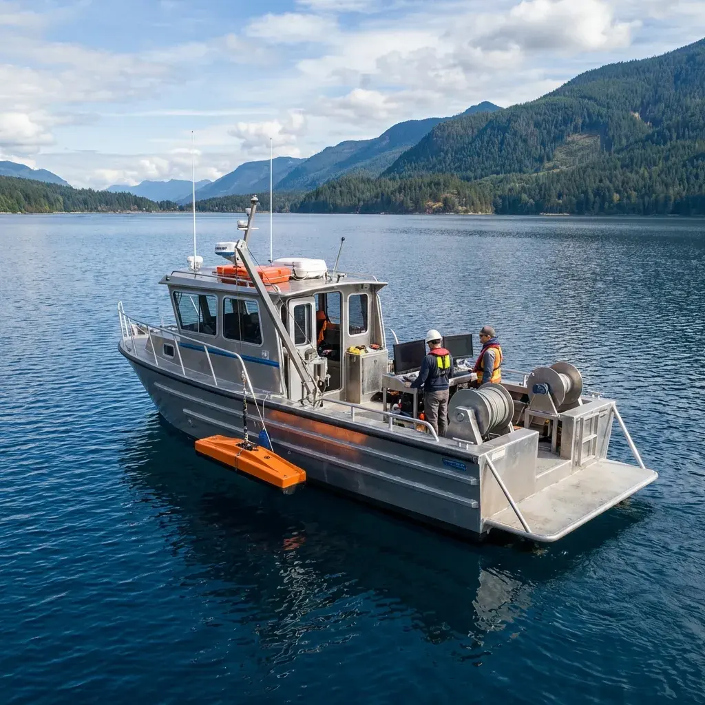
Hydrographic Profiling
Unlike traditional firms, ASIC undertakes specialized surveys in lakes and oceans. We map water bodies to support maritime safety, engineering installations, and environmental monitoring.
- Bathymetry & Sonar Soundings
- Maritime Safety & Navigation Charts
- Fish Stock Surveillance & Landing Sites
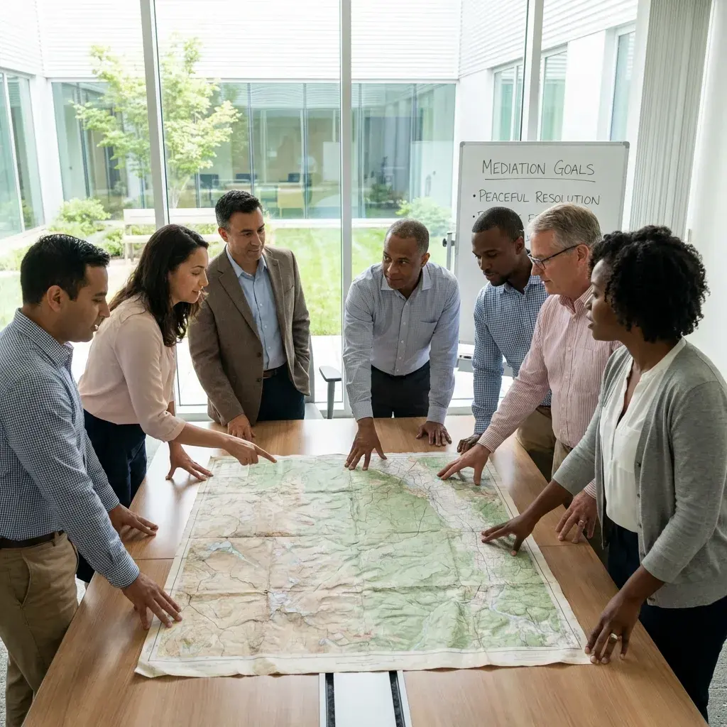
Conflict & Dispute Resolution
We resolve land disputes through science. By developing GIS evidence models, we facilitate mediation between communities and investors, as demonstrated in the Turkana vs. West Pokot boundary cases.
- GIS Evidence Models for Court Proceedings
- Alternative Dispute Resolution (ADR)
- Community Mediation & Consensus Building

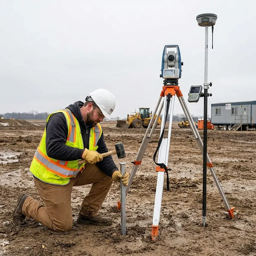
Engineering & Utility Infrastructure
We provide the precise spatial data required for large-scale infrastructure. Our teams handle route surveys for power lines, roads, and water systems across multiple counties.
- Route Surveys (Power lines, Roads, Sewerage)
- Dams & Irrigation Schemes
- As-Built Verification & Layout Marking

Real Estate & Conveyancing
We integrate conveyancing with Land Management Information Systems (LMIS) to streamline property transactions, ensuring speed and legal accuracy for developers.
- Change of User & Extension of Leases
- Sectional Properties
- Sub-division Schemes (e.g., Tana Delta)
Powered by Industrial-Grade Technology
Our fieldwork is backed by heavy investment in modern hardware, ensuring efficiency and accuracy in the toughest terrains.
GNSS Receivers
CHCNAV i80 & i50 (220 Channels, IP67)
Data Collection
LT 700 Rugged GIS Collectors
Survey Instruments
Sokkia & Topcon Total Stations